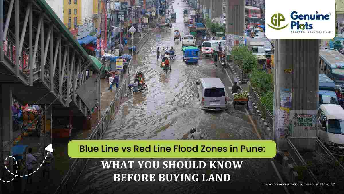
A riverside plot can look like a dream investment—beautiful views, peaceful surroundings and strong location appeal. But before paying a premium for land near the Mula, Mutha or Pavana rivers, there is one important question you should ask:
Where does the plot fall in relation to the official flood lines?
Pune's river systems can experience significant changes in water levels during heavy monsoons and dam releases. This makes understanding flood-line restrictions an important part of due diligence for anyone considering land or property near a river.
What Are the Blue and Red Lines?
Flood lines are used to indicate areas that could be affected by different levels of flooding.
- Blue Line: Generally represents the estimated 25-year flood level.
- Red Line: Generally represents the estimated 100-year flood level.
What Do the Three Zones Mean?
- Inside the Blue Line – Forbidden Area
This is the area with the greatest risk. In general, construction is banned completely or tightly restricted – residential and commercial construction are both affected. It may be allowed to carry out such uses which do not need building permits, but subject to the relevant rules.
- Between Blue and Red Lines – Restricted Area
Development is possible subject to a set of conditions. Conditions may range from elevated construction, limiting basements and implementing flood safety measures, to other conditions. The detailed rules differ depending on the local regulations.
- Outside the Red Line – Developable
The land outside the red line refers to the areas which are considered to be less susceptible to flooding, but normal regulations regarding zoning, building and, so on apply.
How Should You Check Before Buying?
Before purchasing a riverside plot:
- Get the exact survey/Gat number and plot details.
- Check the latest official flood-line maps available from the relevant authorities.
- Overlay the actual plot location against the Blue and Red Lines.
- Check the applicable PMC/PMRDA development-control regulations.
- Don't rely solely on a seller's statement that the plot is "safe" or "near the river but outside the flood zone."
The Key Takeaway
A river view can add tremendous appeal to a property, but the view should never come before verification.
Before investing in land near a Pune river, understand exactly where the plot stands in relation to the Blue Line and Red Line, and verify the latest applicable records and permissions.
A few checks before purchase can prevent a very expensive mistake later.