Prev Post
What New Investors Must Know Before Buying Plots in Karnataka
The Pune Land Records Department (in Maharashtra) has decided to cancel nearly 700 land-measurement maps.
These maps were originally made using the old “vahivat” (customary) method.
What Is “Vahivat” — And Why It Matters
“Vahivat” refers to a traditional or customary method used for measuring and recording land parcels.
For decades this method was used across many parts of Pune and its surrounding areas.
But from February 2025 onwards, following an order from the settlement authority, the “vahivat” method was officially discontinued.
Because of this change, all properties previously measured using “vahivat” now need re-measurement under the updated, legally recognised survey procedures.
Who Was Asked to Act — And Who Didn’t
The department identified around 1,400 land parcels that were recorded using the old method (vahivat).
In September 2025, notices were issued to these landowners asking them to regularise their boundaries via proper re-survey under the new system.
About half of them — ~700 owners — complied and got their land re-measured as required.
The remaining ~700 did not respond or complete the process. Their old maps will now be cancelled.
What the New Rules Require
Under the updated land-record regime:
- Land measurement must follow a formal, legally valid survey procedure — the old customary method is no longer acceptable.
- In cases where land has multiple co-owners, consent from all owners is mandatory for the new survey.
- The survey must be supported by a “temporary layout approval” from the relevant municipal or development authority, ensuring only sanctioned surveys are accepted.
- These reforms aim to make land records more transparent, accurate and legally defensible.
What Does This Mean for Landowners & Buyers
If your old “vahivat” map gets cancelled and you don’t get a fresh survey done, your land boundaries may no longer be legally recognised. That could create problems later — for selling, transferring, or developing the land.
For buyers or developers, it becomes crucial to check that the land has a valid, updated survey under the new system — and not rely on old customary maps.
The change also reduces chances of fraud, illegal transfers or boundary disputes, because the new method ensures clear, verified records.
Bigger Push Toward Digital, Transparent Land Records in Pune
Apart from cancelling old maps, the authorities are moving many land-record tasks online — for example, corrections to 7/12 extracts (essential land ownership documents) must now be done only through digital processes.
Offline/manual edits to records — which earlier enabled misuse, such as unauthorised name changes, incorrect area data, or even illegal transfers — are no longer valid.
The overall aim is to bring transparency, accountability and accuracy to land administration in the region.
Join The Discussion
Related posts
January 29, 2026
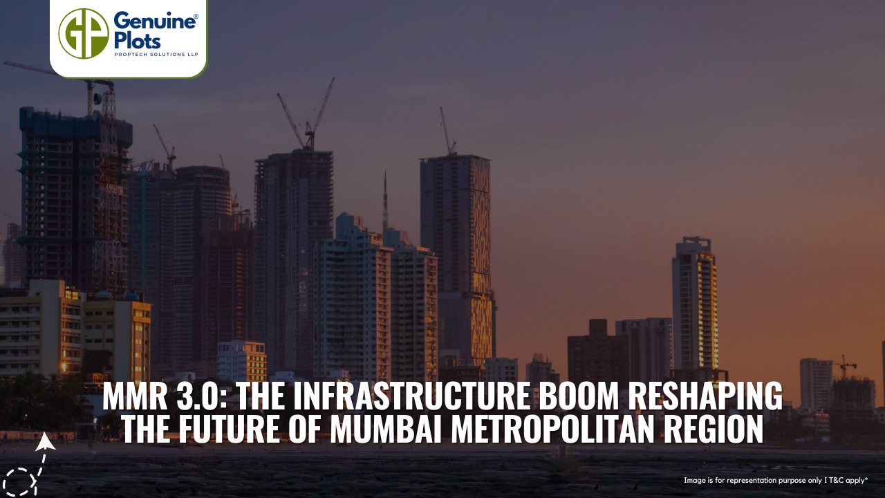
MMR 3.0: The Infrastructure Boom Reshaping the Future of Mumbai Metropolitan Region
The Mumbai Metropolitan Region (MMR) is set to experience its most disruptive phase ever—MMR 3.0, which stands for a period of mega infrastructure development initiatives, vertical growth, and a plan to develop a $1.5 trillion economy by 2030.
Continue Reading
January 28, 2026
Mumbai Metropolitan Region Emerges as India’s Land Deal Powerhouse in 2025
India's real estate industry has been undergoing a significant transformation since 2025, particularly in MMR.
Continue Reading
January 27, 2026
Mumbai 3.0 Is Redefining the Future of Real Estate
Mumbai 3.0—often called Third Mumbai—is one of the most ambitious urban transformation plans in India’s modern development history.
Continue ReadingRecent Posts
Tags
Bhunaksha,
genuine plots,
Land For Sale,
Maharashtra Bhunaksha,
plots for sale,
Gunthewari,
Gunthewari Land,
Gunthewari Rules,
Extract Documents,
Plots and Lands,
Saat Baara,
Extract Saat,
Baara Utara,
Jamabandi,
property tax payments,
Gram Panchayat,
lower prices,
non-agricultural land,
Lower Investment Cost,
Gram Panchayat lands,
Fresh Land Settlements,
Growing demand,
affordable homes,
genuine p,
legal Land,
bungalow plots,
Konkan,
Maharashtra,
Purandar,
Pune,
Karnataka,
Bangalore,
Farm Land,
Kolkata,
Rajarhat,
Indore,
Chhatrapati Sambhajinagar,
Aurangabad,
Mundhwa,
Agricultural Land,
Farmhouse Plot,
Rules And Penalties,
Residential Plots,
NA PLots,
Residential NA Plots,
Commercial NA Plots,
Animal Husbandry Land,
Tathawade,
Vahivat Land Maps,
Vahivat,
Indian Land Records,
Ownership Rights,
Red zone,
PCMC,
Dehu Road,
Land Registration Rules,
Land Investing,
Infrastructure Growth,
Land Ownership,
Land Encroachment,
Panshet Dam,
Varasgaon Dam,
Verified Land,
Plot For Sale,
Land Investment,
Verified Plots,
Land Acquisiton,
Hydrological Survey,
Invest In Land,
Verified Land Plots,
Panshet,
Khadakwasla,
Land Rules,
Dakhil Kharij,
Land Registry,
Property Onwership,
Clean Title Check List,
Property Verification,
Digital Registry,
Farm Plots,
Agro Property,
Land Value Growth,
Urban Expansion,
Senapati Bapat Road,
Registered Land,
Agricultral Plot,
Purandar Airport,
Safe Investment,
Secure Property,
Plot Buyers,
Approved Plots,
Land ROI,
NA Approved Plots,
NA Land,
Welspun One,
Logistic Park,
Talegaon,
PMC Bharat Mandapam,
Urban Development,
Lohgaon,
Close To Nature,
Gated Community Plots,
Buy Land VS Gold Investment,
NRI Investment,
Future Ready Living,
Trusted Plots,
Plot Investment,
Authentic Land,
Safe Land Buying,
Mumbai,
Premium Plots,
MMR Land Investment,
MMR Infrastructure,
Metro Connectivity,


