Prev Post
PMRDA, District Administration Push for Land Acquisition for Nashik Phata–Khed Elevated CorridorMaharashtra to Map Subdivided Land Plots in 18 Talukas Under Pilot Project
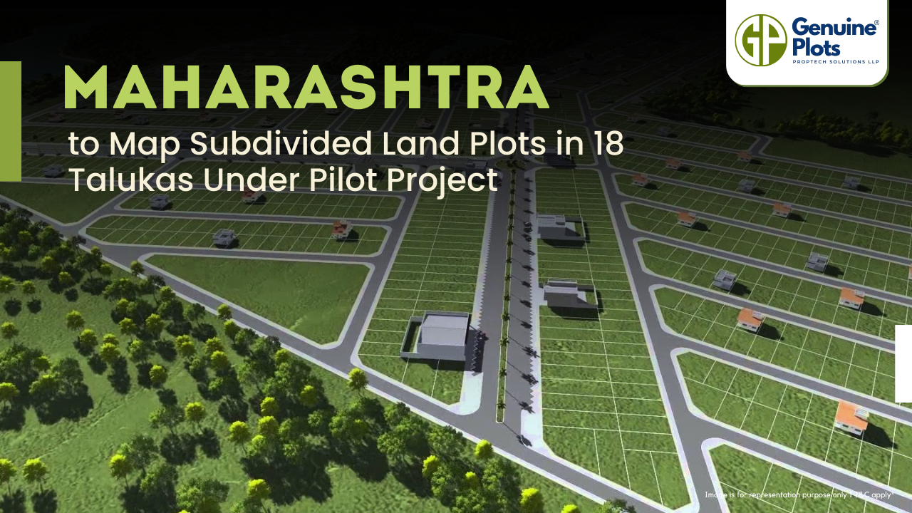
The Maharashtra Land Records Department has launched a pilot project to measure and map subdivided land plots (sub-holdings) in selected areas of the state.
Over the years, many plots have been informally subdivided, creating mismatches between the 7/12 land ownership document and official cadastral maps. The project aims to record these subdivisions accurately.
A total of 18 talukas across six revenue divisions have been chosen for the initiative, including Pune, Palghar, Raigad, Thane, Solapur, Sangli, Dhule, Jalgaon, Chandrapur, and Kolhapur.
The work will be executed by private agencies, which are currently being finalised through a tendering process.
Join The Discussion
Related posts

November 3, 2025
5 Smart Ways to Design Homes on Odd or Irregular Plots
It can be challenging to design a home on an irregular or odd-shaped plot, but with the correct inspiration, you can create a stunning and useful space.
Continue Reading
November 1, 2025
Property Division Now Possible for Just ₹100: A Major Relief for Families and Farmers
In India, family property disputes have long been a source of stress, frequently lasting years because of ambiguous ownership and expensive registration fees.
Continue Reading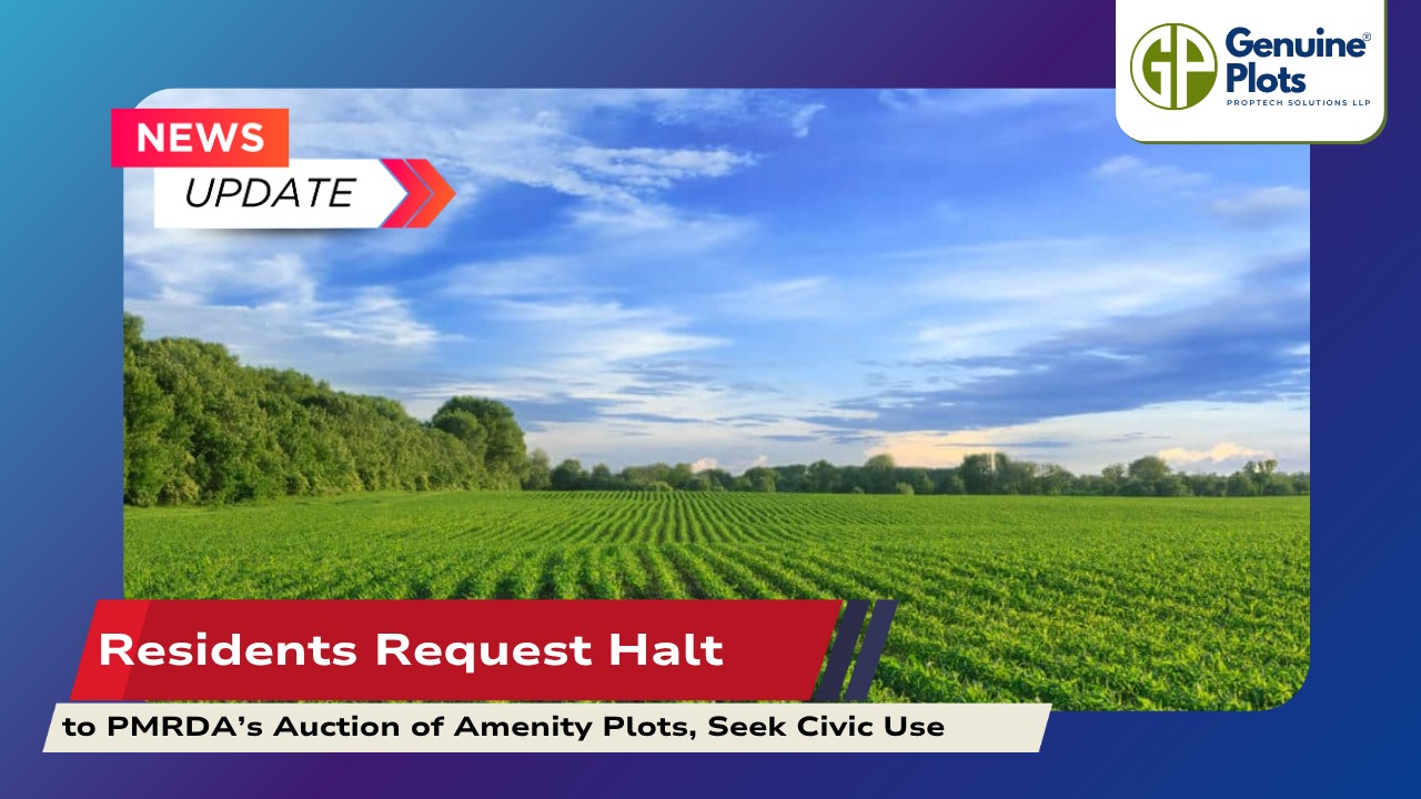
October 31, 2025
Residents Request Halt to PMRDA’s Auction of Amenity Plots, Seek Civic Use
Residents have urged the Pune Metropolitan Region Development Authority (PMRDA) to halt its proposed auction of amenity plots, emphasising that the land should instead be utilised for civic purposes.
Continue ReadingRecent Posts
Topics
Tags
Bhunaksha,
genuine plots,
Land For Sale,
Maharashtra Bhunaksha,
plots for sale,
Gunthewari,
Gunthewari Land,
Gunthewari Rules,
Extract Documents,
Plots and Lands,
Saat Baara,
Extract Saat,
Baara Utara,
Jamabandi,
property tax payments,
Gram Panchayat,
lower prices,
non-agricultural land,
Lower Investment Cost,
Gram Panchayat lands,
Fresh Land Settlements,
Growing demand,
affordable homes,
genuine p,
legal Land,
bungalow plots,


