Prev Post
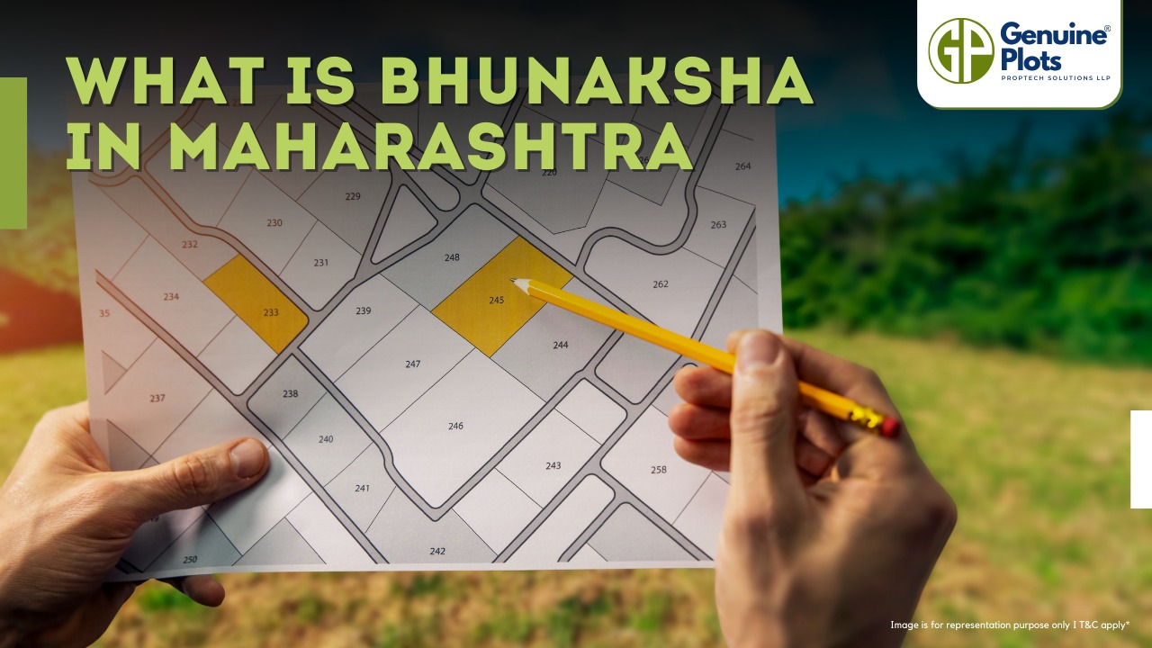
6 Things to look for while buying agricultural land in MaharashtraBhunaksha is a special computer software created by NIC (National Informatics Centre) that helps manage digitized cadastral maps. But what does all that mean?
- Cadastral maps: These are maps that show the boundaries and ownership of land parcels. They help keep track of who owns which piece of land.
- NIC: The National Informatics Centre is an organization that develops and implements technology solutions for the Indian government.
- Open source applications and libraries: Bhunaksha is made using software, a free version for use, modification, and share.
- Facilitate management: Bhunaksha makes handling and organizing digitized cadastral maps easier. Instead of dealing with paper maps, the software lets you work with maps on a computer.
- Integration with existing Land Records application: If a state already has a computer system for keeping track of land records (information about land ownership, etc.), Bhunaksha can be connected to it to work together.
How to Login Bhunaksha?
- Open your web browser. Enter the URL. Your system administrator will provide it.
- You will see a login page once you access the Bhunaksha web application.
- On the login page, you need to select your location. This ensures that you are accessing the correct cadastral maps for your area.
- After selecting your location, enter your unique user ID in the designated field.
- Next, enter your password in the password field. Make sure to enter the correct password associated with your user ID.
- Double-check that you've entered both your user ID and password correctly.
- Finally, click the "Login" or "Sign In" button to proceed.
Benefits of Maharashtra Bhunaksha
- Verify details of the plot owners
- Know the plot size
- Provide the details of the landowners, including name, address, etc.
- Viewing plot record online saves your time
Contact Information of Bhunaksha, Maharashtra
The state coordinator for Bhunaksha Maharashtra can be reached at
Datar SP
TD, NIC, Office of SC & DLR, Pune
FAQ
Is Bhunaksha only for Maharashtra?
No, Bhunaksha is not limited to Maharashtra alone. It is a software solution developed by NIC and can be implemented in various states across India.
Can I access Bhunaksha from any device?
Yes, Bhunaksha is accessible from any device with internet connectivity, including computers, laptops, tablets, and smartphones.
Is Bhunaksha available for free?
Yes, Bhunaksha is an open-source application, which means it is available for use, modification, and sharing at no cost.
Can private individuals use Bhunaksha?
While Bhunaksha is primarily designed for government use and land administration purposes, some states may allow limited access to private individuals for specific tasks.
How accurate are the cadastral maps in Bhunaksha?
The accuracy of cadastral maps in Bhunaksha is generally high. However, it is essential to cross-verify with official records and conduct surveys for critical transactions or land development projects.
Are the maps updated regularly?
Bhunaksha maps are regularly updated to reflect land ownership and boundary changes. However, users should verify the latest information with relevant authorities.
Is There an Official Mobile App for Bhunaksha Maharashtra?
Currently, there is no official mobile application provided by the Maharashtra government for searching your Bhunaksha document. The only source for accessing Bhunaksha Maharashtra is the official web application provided by the National Informatics Centre (NIC).


